
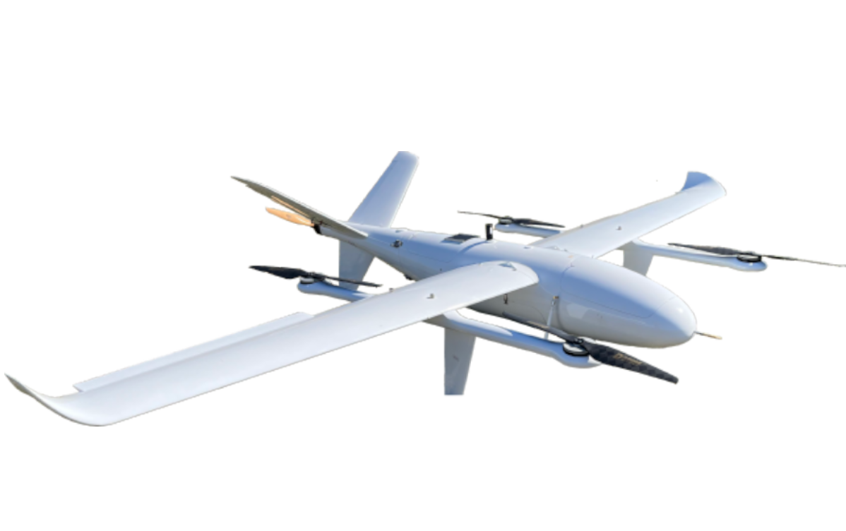
MAS DIHA-350 VTOL
Uzun mənzilli, araşdırma, nəzarət və xəritəçəkmə işləri üçün xüsusi olaraq hazırlanmış, 7 kq faydalı yük ilə 2,5 saat uçuş müddətinə, şaquli qalxma və enmə qabiliyyətinə malik sabit qanadlı dron.

ELIOS 3
LİDAR xəritəsinin gücünə güvənən Elios 3 sistematik, çoxyönlü, qapalı sahə inspeksiyası və 3D modelinin yaradılması üçün xüsusi tətbiq quraşdırılmış mükəmməl dron.
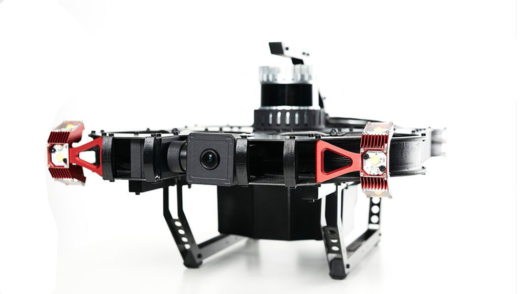
SCOUT 137
Scout 137 qapalı sənaye aktivlərinin təhlükəsiz yoxlanılması üçün təftiş dron sistemidir. 3D LİDAR əsaslı naviqasiya sistemi GPS-siz mühitlərdə təhlükəsiz və dayanıqlı yoxlama uçuşlarına və üstün məkan etiketli vizual məlumatlar toplamağa imkan verir.