Our professional equipment
OLIMP UAV HAS THE MOST MODERN TECHNOLOGY THAT CAN PERFORM THE SIMPLEST AND MOST DIFFICULT TASKS.

Leica RTC360
The Leica RTC360 3D reality capture solution enables users to document and capture their environment in 3D, improving efficiency and productivity in the field and office through fast, simple-to-use, accurate and portable hardware and software. The RTC360 3D laser scanner is a solution for professionals to manage professionals

DJI ZENMUSE L1 (LIDAR)
The L1's Lidar module has an active detection capability that can scan an area to collect point clouds at night or in other low-light conditions.

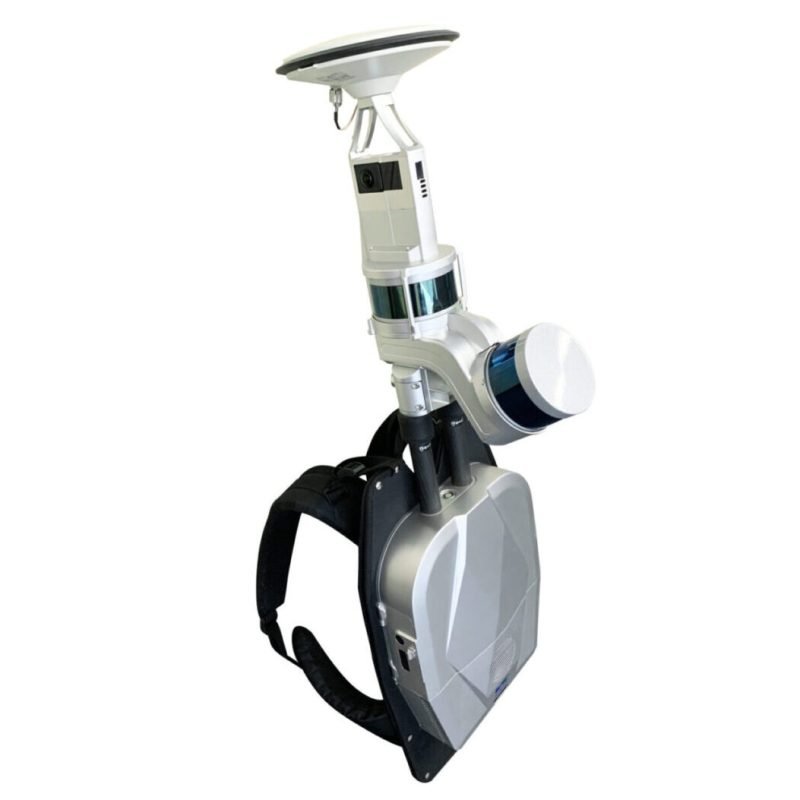
LiBackpack DGC50
LiBackpack DGC50 is an advanced wearable LiDAR scanner designed for fast and accurate real-time 3D scanning of objects. It enables the creation of detailed digital 3D models of the surrounding environment, including buildings, landscapes, and infrastructure. This technology is widely used in surveying, construction, mapping, and other fields where accurate and detailed 3D data is required.

Navvis VLX 2
Navvis VLX 2 is a cutting-edge wearable scanner designed for fast and accurate 3D scanning of objects. It allows you to create detailed digital twins of buildings, structures, and various spaces. This technology is widely used in architecture, construction, industry, and other fields where accurate and up-to-date information about the real environment is required.

DJI Zenmuse L2
Zenmuse L2 integrates frame LiDAR, a self-developed high-accuracy IMU system, and a 4/3 CMOS RGB mapping camera, providing DJI flight platforms with more precise, efficient, and reliable geospatial data acquisition. When used with DJI Terra, it delivers a turnkey solution for 3D data collection and high-accuracy post-processing.
